The Pacific coast and I-5 urban corridor of Washington State faces an estimated 10-15% chance of a major earthquake occurring along the Cascadia Subduction Zone (CSZ) within the next 50 years. Although rare — with recurrence intervals of 250-500 years to approximately 2,500 years, depending on the magnitude – a CSZ megaquake would resemble such recent events as the 2004 Sumatran, 2010 Chilean, and 2011 East Japan earthquakes and tsunamis. A CSZ megaquake could kill more than 10,000 people and injure over 30,000 throughout the region, with economic losses exceeding $80 billion.4 The region encompasses major cities and ports and isolated rural communities and indigenous tribes. Cut off from most of the North American continent by the Cascade Mountains and crisscrossed by complex and frequently flooding waterways, the region is vulnerable to a host of co-seismic hazards including landslides and liquefaction as well as tsunamis and seismic subsidence. However, unlike other subduction zones along the Pacific “Rim of Fire”, the CSZ is eerily quiet, with long intervals between earthquakes (the last major tsunami-producing rupture occurred in 1700). Tectonic uplift and subsidence, however, are more obvious and interacts with accelerating sea-level rise in dramatic and varying ways at different points along the coast. The studio will make use of highly localized and precise projections of sea-level rise as well as advanced models of tsunami inundation and co-seismic subsidence, to explore a different time and spatial scales of environmental change and impacts on human settlement.
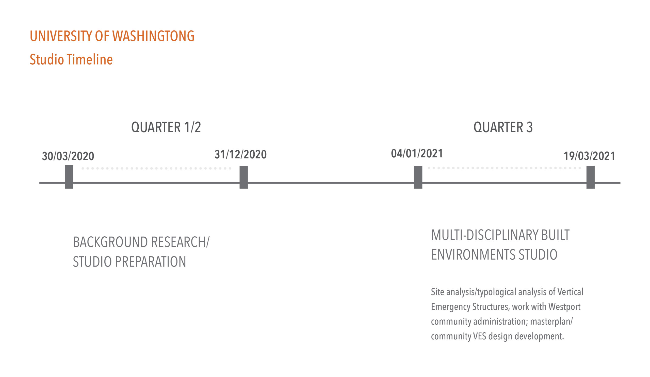
The studio will address design at multiple scales in time as well as space. Temporal scales will include (1) short-term projects for life safety in the event of a sudden earthquake and tsunami, including vertical evacuation structures, ground-based evacuation routes, assembly areas, and facilities and infrastructure designed to support the community through a period of isolation immediately following an earthquake; and (2) longer-term projects that both enhance community well-being and current developmental goals as well as prepare it for possible relocation and resettlement after either an earthquake and tsunami or long-term sea-level rise. The temporal interactions of these different types of hazards will be a key driver of the design since the impacts of an earthquake-subsidence-tsunami event can vary dramatically depending on when it occurs on the trajectory of sea-level rise. Spatial scales include individual buildings and sites for vertical evacuation structures and other prototypical buildings able to withstand flooding; open space and trail systems; and larger sites demonstrating evolutionary uses of land over time, e.g. uphill forest lands appropriate for camping, ecosystem monitoring, restoration, and ecologically low-impact resort development in the short term that may be adapted for community relocation after a catastrophic event, or retrofitting of existing development in low-lying flood-prone land that may gradually allow for increased encroachment of coastal wetland.
Along the Cascadia Subduction Zone (CSZ) Washington State; Westport South Beach; Grays Harbor County.
